More fishing. Less guessing.

Fish smarter with real-time data

Plan better trips, find productive water, and make faster decisions.

Fish The Break brings sea surface temperature, chlorophyll, bathymetry, wind, radar, and route tools into one easy-to-use app, so you can spend less time guessing and more time fishing.

Powerful Map Data Layers

Explore more layers

Chlorophyll

Find clusters of phytoplankton to indicates high fish activity

Weather Radar

Track precipitation density and cloud coverage over sea & land

Sea Surface Temperature

Identify temperature breaks and clusters where you plan to fish
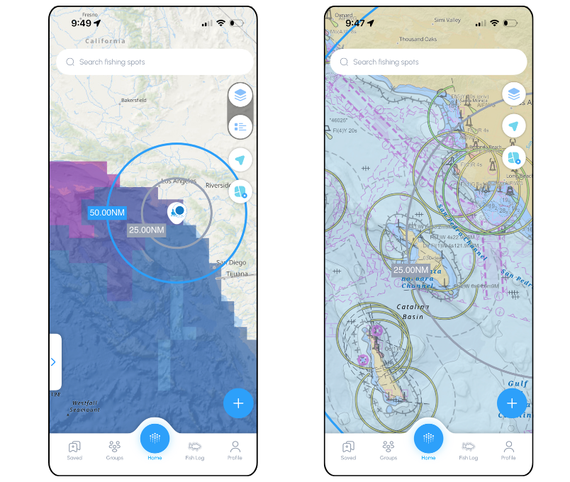
Bathymetry

Precisely identify seafloor features to understand drop offs, valleys, hills, and more.

Wind Speed & Direction

Have an idea of chop and where to expect winds
More than just a map

Use the data to YOUR advantage with intuitive functions.

Easily measure distances, mark spots, and map your trolling paths.

Create Route

Save time and boost your experience on the water with, real-time path planning

Track Trolling

Accurately track your trolling lines and mark significant points while you troll

Save Location

Effortlessly mark and revisit your favorite fishing spots with real-time data overlays

wave
Get Fish The Break today and

transform your fishing experience